

Overview
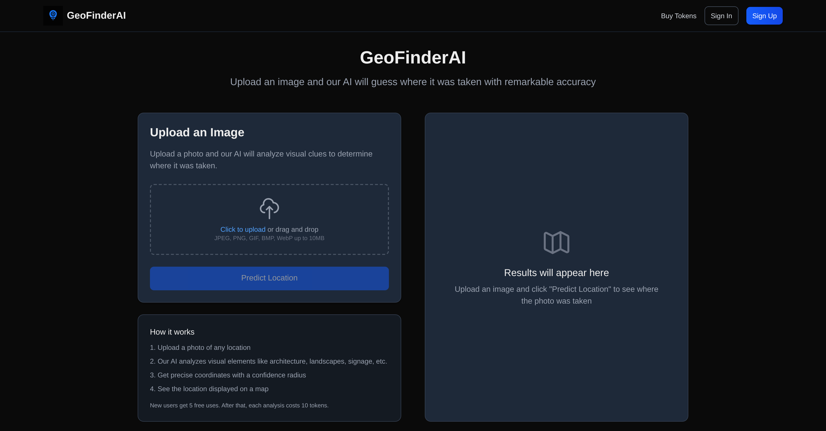
- Pinpoint exact photo locations with AI analysis of landscapes, architecture, and signage
- Verify image authenticity with geographic coordinates and visual confidence radius display
- Start analyzing immediately with five free uses for testing location detection accuracy
- Process multiple image formats including JPEG, PNG, GIF, BMP, and WebP up to 10MB
- Scale your geolocation needs with token-based system for reliable performance
- Access location verification for research, travel documentation, and investigative work
Pros & Cons
Pros
- High accuracy location detection
- Analyzes various visual elements
- Supports multiple image formats
- Up to 10MB image size
- Provides estimated geographic coordinates
- Displays confidence radius
- Location represented on map
- Ideal for verifying locations
- Operates on token-based system
- Initial free uses
- Reliable and efficient
- Continual development
- Featured on notable platforms
- Architecture identification
- Landmark detection
- Digital mapping tool
- Caters for diverse users
- Image-based navigation
- Computer vision tech
- Location analytics
- JPEG, PNG, GIF, BMP, WebP Analysis
Cons
- Token-based system
- Limited free usage
- Image size limit
- No API mentioned
- Confidentiality of uploads unclear
- Possible inaccuracies in prediction
- Non-adjustable confidence radius
- Dependent on image quality
Reviews
Rate this tool
Loading reviews...
❓ Frequently Asked Questions
GeoFinderAI is an AI-powered tool that can detect the geographic location of any uploaded image with remarkable accuracy by analyzing various visual elements in the image like landscapes, architecture, signage, and more.
GeoFinderAI works by analyzing the visual elements present in an uploaded image, such as architecture, landscapes, signage, etc. Based on such analysis, it estimates the geographic coordinates of the location where the photo was taken.
GeoFinderAI can analyze various image formats including JPEG, PNG, GIF, BMP, and WebP.
GeoFinderAI can handle image sizes of up to 10MB.
After analyzing an image, GeoFinderAI provides the estimated geographic coordinates of the location along with a confidence radius, both of which are represented on a digital map.
The 'confidence radius' offered by GeoFinderAI is a measure of the level of confidence in the predicted geographic location. It depicts the probable area where the picture might have been taken.
GeoFinderAI represents the predicted location by displaying the geographic coordinates with a confidence radius on a digital map.
GeoFinderAI operates on a token-based system to regulate the performance and availability of the tool, ensuring reliable and efficient use across its user base.
The benefits of GeoFinderAI's token-based system include maintaining reliability and efficiency of the tool due to controlled demand, as well as allowing scalability for different numbers of analyses based on user requirements.
GeoFinderAI offers five free uses to new users.
After the free uses, each image analysis on GeoFinderAI costs 10 tokens.
GeoFinderAI has been featured on platforms like Dang.ai and Startup Fame.
GeoFinderAI is continually developing by improving its accuracy and usability for a diverse range of users.
The main users of GeoFinderAI are those who require the detection of geographic locations from images, which can include researchers, travelers, detectives, historians, and general enthusiasts of geography and photography.
GeoFinderAI analyzes various visual elements in images like landscapes, architecture, signage, and more to discern the specific location where the image was taken.
Yes, GeoFinderAI can verify locations from photographic materials, making it a valuable tool in tasks such as location verification and image-based navigation.
The intended uses of GeoFinderAI are to predict and verify the geographical location of any given photo, making it useful for geolocation, image analysis, landmark detection, architecture identification, digital mapping, location verification, and location analytics among others.
Yes, there are usage guidelines for GeoFinderAI. It operates on a token-based system, with new users receiving a certain number of complimentary uses, after which image analyses will require the purchase and utilization of tokens.
GeoFinderAI has high accuracy in predicting locations. The specific level of accuracy is not explicitly mentioned on their website, but it is described as 'remarkable'.
While it is not mentioned specifically what improvements are expected in future versions of GeoFinderAI, it can be inferred that the focus will be on enhancing its accuracy and usability for a diverse range of users.
Pricing
Pricing model
Free Trial
Paid options from
$5/unit
Billing frequency
Pay-as-you-go