

Overview
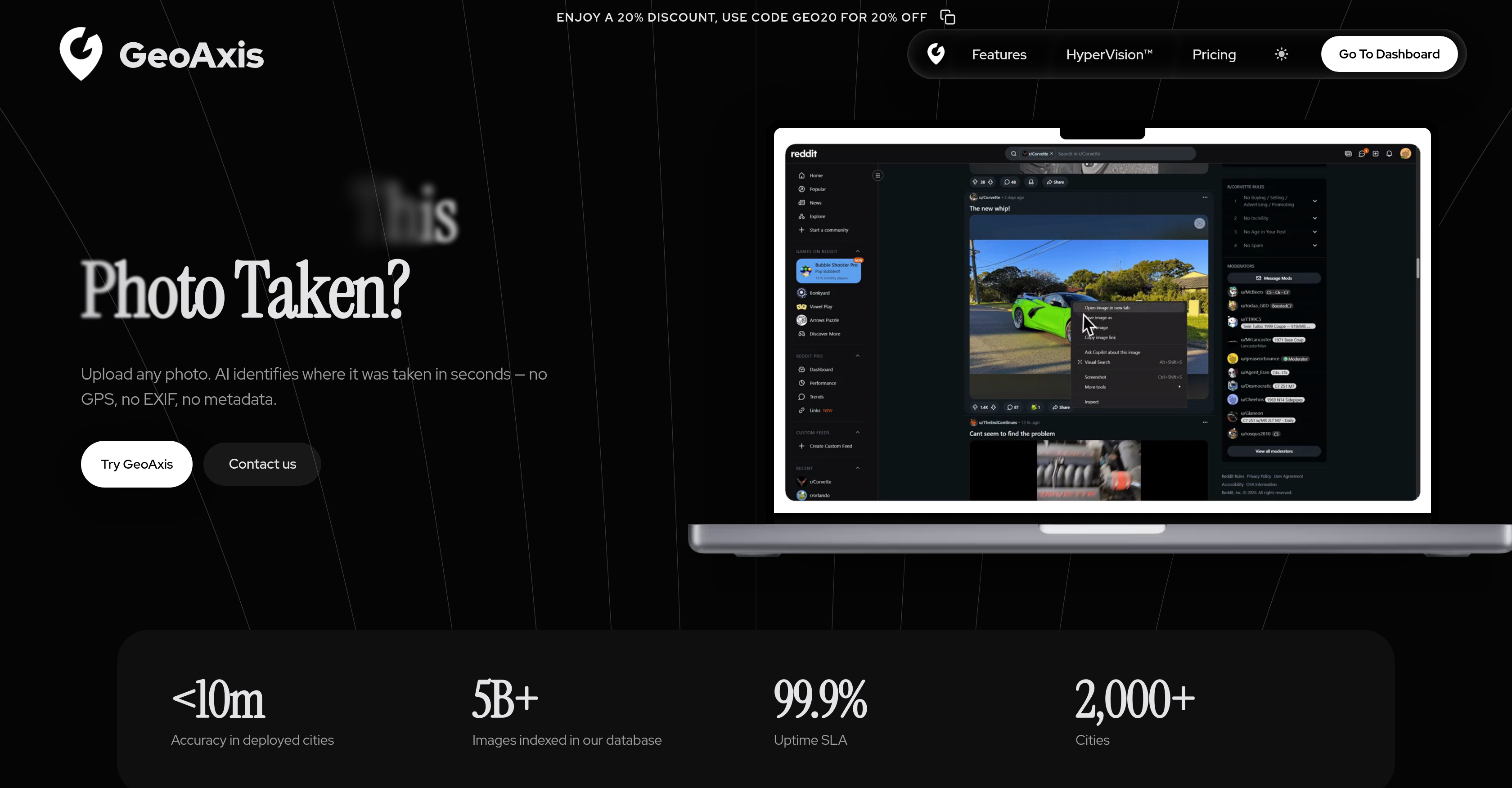
- Pinpoint a photo's exact location in seconds without GPS, EXIF, or metadata—GeoAxis's AI analyzes visual content like landmarks, terrain, and architecture for instant geolocation.
- Achieve meter-level accuracy even on low-light, low-resolution, or partial-view images—GeoAxis's advanced AI processes challenging visuals that other tools miss.
- Verify image origins for OSINT and investigative journalism with global coverage—GeoAxis accesses worldwide location data to identify any corner of the planet.
- Protect sensitive investigation data with enterprise-grade security—GeoAxis implements rigorous privacy measures to safeguard every uploaded image.
- Deploy custom city-level accuracy for mission-critical operations via HyperVision—GeoAxis offers tailored deployments and priority support for enterprise teams.
- Estimate approximate or exact locations with two precision levels—GeoAxis provides both Geo-Estimation for quick context and Precise Geolocation for pinpoint accuracy.
- Prepare for future indoor and vehicle identification capabilities—GeoAxis's upcoming Indoor Geolocation and Car Identification expand investigative reach beyond outdoor scenes.
Pros & Cons
Pros
- Identifies image location
- No GPS required
- No EXIF data required
- No metadata needed
- Analyzes visual aspects
- Recognizes landmarks
- Notes terrain features
- Precision geolocation
- Performs Vegetation assessment
- Architecture evaluation
- Rapid results
- Secure data handling
- Enterprise-grade security
- Global location data
- Indoor Geolocation feature
- Car Identification feature
- HyperVision for critical applications
- Beneficial for journalism
- Useful in OSINT
- Helpful for investigative operations
- Custom City Deployments
- Enhanced Accuracy
- Priority Support
- Meter-level accuracy
- Effectively processes low-light images
- Resolve low-resolution images
- Handles partial views
- No manual work needed
- No technical expertise required
Cons
- No offline usage
- Limited to visual elements
- Limited application use-case
- Potentially inaccurate for unindexed images
- No alternative to image-based input
- Requires constant updates for accuracy
- Limited user interface language options
- No API for developers
- No mobile app version
- Unclear about usage limitations
Reviews
Rate this tool
Loading reviews...
❓ Frequently Asked Questions
GeoAxis's main function is to identify the location of any uploaded image in a matter of seconds. It does this with an advanced AI algorithm that analyzes the visual aspects of the image, without the need for GPS, EXIF, or any metadata.
GeoAxis identifies the location of an image by analyzing its visual aspects using advanced AI algorithms. Elements like landmarks, terrain, vegetation, and architecture are frequently considered to determine where a photo was taken.
No, you don't need to provide GPS or EXIF data for GeoAxis to function. It uses AI-powered visual analysis to determine the location of any image.
GeoAxis considers key visual elements when determining a photo's location, including landmarks, terrain, vegetation, and architecture.
Yes, GeoAxis's algorithm provides global coverage. It has the ability to pinpoint locations in every corner of the planet.
GeoAxis takes enterprise-level measures to protect user data privacy and security. This is one of its prioritized aspects to ensure trust with its users.
In the context of GeoAxis, Geo-Estimation likely refers to their capability of estimating an approximate geolocation based on the visual elements present in an image.
In GeoAxis, Precise Geolocation likely means the tool's ability to pinpoint the exact geographic location where an image was captured.
Future features like Indoor Geolocation and Car Identification suggest that GeoAxis plans to expand its capabilities to accurately identifying locations within indoor settings and to identify specific vehicles in images.
GeoAxis can identify an image's location in a matter of seconds. Once an image is uploaded, the AI takes over and performs the location identification.
HyperVision is an enterprise solution offered by GeoAxis. It targets mission-critical applications with enhanced accuracy and gives priority support.
GeoAxis is primarily used in the areas of open-source intelligence (OSINT), investigative journalism, and other investigations that require location identification.
Yes, GeoAxis is capable of identifying landmarks and architecture in photos. It's part of its AI's analysis to determine the exact location of an image.
GeoAxis analyzes vegetation and terrain through its advanced AI algorithms. These are visual cues that the AI uses to pinpoint where a photo was taken.
GeoAxis provides meter-level accuracy in location identification using its advanced AI algorithms. It can even process challenging images including those taken under low-light conditions, low-resolution, or with partial views.
Yes, GeoAxis is suitable for investigative journalism. Its precise location identification capabilities can be very useful in this field.
Yes, GeoAxis can be effectively used for open-source intelligence (OSINT). This kind of intelligence, which deals with publicly available data, can greatly benefit from GeoAxis's location identification abilities.
Yes, there is an enterprise solution available for GeoAxis. It is called HyperVision and it targets mission-critical applications providing enhanced accuracy and priority support.
HyperVision enhances GeoAxis's current offerings by providing custom city deployments, enhanced accuracy and priority support for mission-critical applications.
To upload an image to GeoAxis for location identification, you simply have to access their user UI, and upload the desired image. Following this, the AI performs the location identification process.
GeoAxis offers features such as Geo-Estimation, Precise Geolocation, Indoor Geolocation (coming soon), and Car Identification (coming soon). Additionally, there's an enterprise solution named HyperVision for mission-critical applications providing enhanced accuracy and priority support.
Yes, GeoAxis can identify the location of any uploaded image. This is achieved without any need for GPS, EXIF, or metadata, purely relying on visual content analysis of the image.
GeoAxis employs advanced AI algorithms that analyze the visual aspects of an image, completely bypassing the need for GPS, EXIF, or metadata.
GeoAxis considers elements such as landmarks, terrain, vegetation, and architecture to analyze the visual aspects of an image. These cues help the AI not only to identify the locations but also to precisely estimate it.
Yes, GeoAxis has a global reach with the ability to recognize and determine locations from every corner of the planet.
GeoAxis takes security and privacy very seriously, implementing enterprise-grade security measures to safeguard user data.
Geo-Estimation is a feature that provides an approximate location of where a photo was taken, while Precise Geolocation gives pinpoint accurateness concerning the same.
GeoAxis promises to identify an image's location in seconds, providing users with a quick and accurate location identification mechanism.
Yes, GeoAxis supports enterprise-level tasks through its HyperVision feature, which is specifically designed for mission-critical applications.
Organizations handling mission-critical applications can greatly benefit from using HyperVision. It offers custom city deployments, enhanced accuracy, and priority support to ensure utmost efficiency and output.
HyperVision offers enhanced accuracy and priority support tailored to mission-critical applications. It also offers custom city deployments in its package.
Yes, GeoAxis is highly effective in journalism and investigative operations. Since precision is of high importance in these sectors, the accurate location data provided by this tool is instrumental.
The AI algorithm of GeoAxis provides global coverage. It has access to worldwide location data, enabling it to identify locations in every corner of the planet.
GeoAxis uses its Advanced AI algorithms to access worldwide location data, thus enabling it to provide coverage covering every corner of the planet.
GeoAxis sets itself apart by its ability to pinpoint locations without the need for GPS, EXIF, or any metadata. It also offers an array of features such as Geo-Estimation, Precise Geolocation and more, and it takes security and privacy very seriously.
'Visual Content Analysis' refers to the method GeoAxis uses to identify the location of a photo. It involves the analysis of visual aspects like landmarks, terrain, vegetation, and architecture.
GeoAxis employs enterprise-grade measures for data protection ensuring user data is secure and private.
'Custom City Deployments' is a part of the HyperVision offer, which is designed for mission-critical applications. Though the specifics are not mentioned, it implies that HyperVision can be customized to provide enhanced accuracy in designated cities of an enterprise's choice.
Yes, GeoAxis can be used without any technical expertise. Users simply need to upload their image, and the AI will analyze and identify the location in seconds.
Pricing
Pricing model
Free Trial
Paid options from
$0.90
Billing frequency
One-time