

Overview
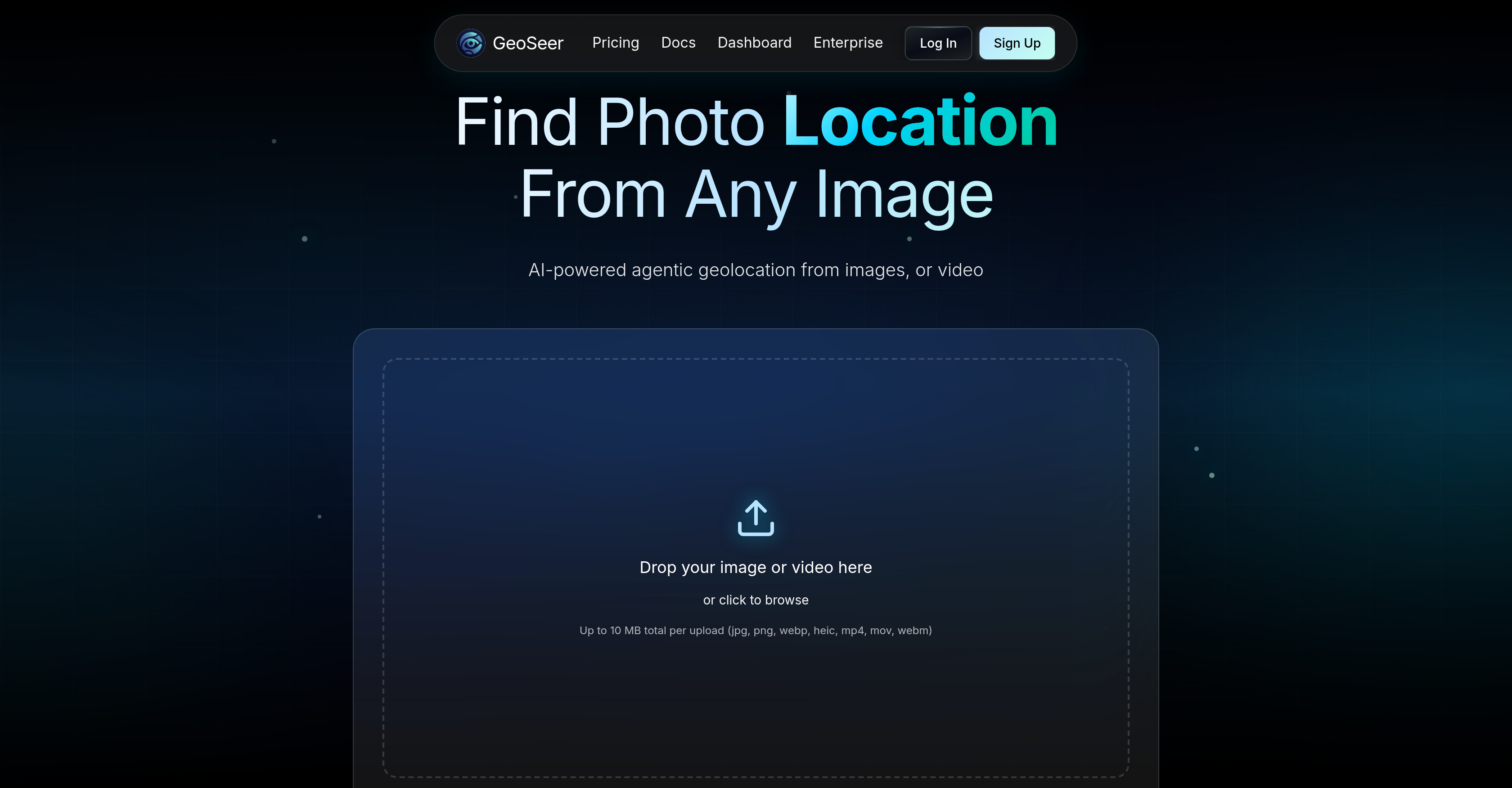
- Identify the exact GPS coordinates, city, and country of any photo or video instantly — powered by parallel multi-agent AI architecture that analyzes visual content, EXIF data, and reverse image search in real time.
- Confirm the location of images stripped of metadata — GeoSeer delivers accurate geolocation predictions even when EXIF data is missing, using visual analysis and area estimation alone.
- Get location results for urban, rural, and indoor scenes anywhere on the planet — global coverage ensures no scene type or region is left out of your geolocation workflow.
- Upload up to three images or one video for a single location check — batch analysis saves time when verifying multiple shots from the same trip or investigation.
- Keep every upload private with a zero-storage policy — images and videos are analyzed and immediately discarded, ensuring no sensitive content is retained after processing.
- Integrate location analysis directly into your own platform using the developer API — automate geolocation for large-scale projects without switching tools.
Pros & Cons
Pros
- Identifies photo or video location
- Doesn't require EXIF data
- Performs EXIF analysis
- Performs reverse image searching
- Performs visual analysis
- Area estimation
- Ranks results
- Real-time processing
- Privacy-first policy
- Doesn't store uploads
- Developer API for integration
- Flexible pricing plans
- User-friendly interface
- Global geolocation coverage
- Recognized accuracy
- State-of-the-art performance
- Supports multiple image/video uploads
- Three-step location estimation
- Allows cross-platform integration
- Offers different user quota
- Analyzes clear landscapes
- Analyzes readable text imagery
- Works on incident details
- Different processing modes
- Outperforms competitors
- High accuracy rate
- Low cost
- Fast results delivery
- In partnership with known brands
- Provides GPS coordinates of location
- Predicts city and country
- Handles both rural and urban scenes
- Doesn't require public self-serve access
- Scalable for professionals across industries
- Understandable benchmark measures
- Supports various file formats
- No hidden fees
- Priority processing queue
- White-label API access
Cons
- Limited to three images
- Single video limitation
- Requires clear landscape images
- 10 MB upload limit
- Performance dependent on text clarity
- Accuracy varies across terrain types
- Costly for high usage
- No mobile app
Reviews
Rate this tool
Loading reviews...
❓ Frequently Asked Questions
GeoSeer supports jpg, png, webp, heic, mp4, mov, and webm formats for images and videos.
Based on the available details on GeoSeer's website, there is no mention of a dedicated mobile app.
Yes, GeoSeer can be used for commercial purposes. The website mentions different pricing plans that cater to varied uses, including commercial applications.
GeoSeer follows a privacy-first policy that ensures uploads are not stored post-analysis.
The exact accuracy rate is not mentioned, but GeoSeer prides itself on its superior accuracy, as described on their website. It is recognized globally for its accuracy in identifying locations from uploaded images or videos.
GeoSeer's parallel multi-agent AI architecture works by taking the upload, analyzing EXIF data, conducting a reverse image search, estimating the area through visual analysis and then ranking the results to finally predict the location.
GeoSeer can process uploads of a maximum size of 10 MB total per operation.
Yes, GeoSeer can provide location details without requiring EXIF data from the files.
GeoSeer follows a privacy-first policy which ensures that the files uploaded for analysis are never stored.
GeoSeer provides real-time processing of photos or videos for location analysis. However, the exact timeline is not mentioned on their website.
GeoSeer provides specific geographical details such as GPS coordinates, city and country where the photo or video was taken.
GeoSeer's developer API allows for easy integration of GeoSeer's features into other platforms, extending its functionality and accessibility.
GeoSeer offers various plans that fit different needs: a free plan for trying out the service, a Starter plan for regular users and small projects, and a Pro plan for professionals, and power users. Further details including price and services are available on their website.
GeoSeer claims state-of-the-art performance in its operations, delivering superior accuracy at a fraction of the cost of competitors, as outlined on their website. However, specific comparisons or metrics are not shared.
GeoSeer uses reverse image searching as part of its methodology to identify the location of an image or video. The specific details of how this reverse image searching operates are not discussed on their website.
GeoSeer is known for its user-friendly interface apart from its flexibility in pricing, real-time processing, and accessibility through a developer API.
Yes, GeoSeer's geolocation service extends to urban, rural, and even indoor scenes, as indicated in the accuracy benchmark description.
GeoSeer caters to different user categories by offering flexible pricing plans that come with varying levels of services and usage quotas.
Yes, GeoSeer can be integrated into other platforms by using the provide developer API.
GeoSeer offers geolocation services that cover the entire globe, suggesting a comprehensive coverage regardless of location.
Pricing
Pricing model
Freemium
Paid options from
$19/month
Billing frequency
Monthly